Cowan to Mt Kuring-gai, via Berowra Waters
Friday March 15, 2019
The day after Sydney experienced some of its heaviest rain in months is probably not the ideal time for a bushwalk, but the weather gods are with us and while the skies remain overcast, we are spared any rain. The humidity is pretty high, as you’d expect, but this just adds to whole rainforest vibe of this walk.
Five 50-something blokes – all of the others markedly fitter than me – kick off from Cowan, and the track is fairly gentle to begin with as we head down the gully. After a couple of kilometres, the fun starts, with a series of short ascents and descents which test my cranky knees.

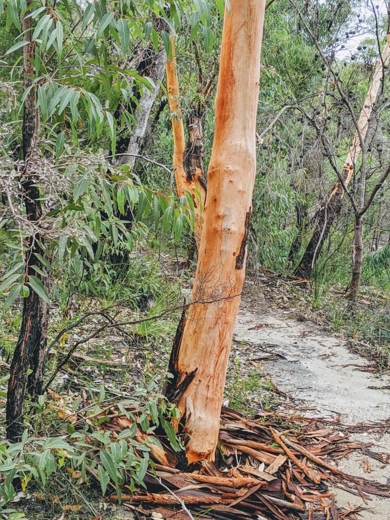
It’s great to see the creeks running as we navigate around sandstone outcrops and through the eucalyptus forest, which is punctuated by tree ferns and stringybarks. About five kilometres in, we get our first views of Berowra Creek, and then after another climb in and out of the creek gully, the village of Berowra Waters comes into sight.

Another steep descent and we’re on the shoreline, walking through the remains of aboriginal middens. Riverfront houses and boats at moorings come into view, then the “commuter carparks” for residents appear – tinnies and dinghies on the waterside, cars and vans just inland.

A break on the outdoor deck of the café while the boys recaffeinate gives us time to watch the gentle pace of life in Berowra Waters – the punt ferrying vehicles back and forth across the creek, tinnies moving between the shore and boats at anchor, and couple of stand-up paddleboarders. Under the leaden skies, it is a calm and oddly pretty scene.

There’s a pretty nasty push up the contours to get out of Berowra Waters, and we continue uphill on the advice that there’s a great spot for lunch further up. After bypassing some great sandstone platforms, we reach Naa Badu lookout, which offers great views upstream and downstream, plus a table and seats from which to enjoy them.
We descend to creek level – yet again – and continue along the shoreline. It’s easy walking, with mangroves on one side and casuarinas on the other, with the limbs of many shattered eucies scattered in the scrub beside the track. It looks like a mini-cyclone has come through here in recent weeks, but the rangers have cleared the track.

The saltmarsh appears, and we mount the boardwalk to the intersection with the Calna Creek Bridge (this leads to Crosslands and beyond, but more of that in another post). After a break and another period of robust banter, we head off. Underfoot, the she oak needles are massed in thick layers, betraying the course of last night’s storm and the ensuing flooding.
We continue along the side of the creek, heading up Lyrebird Gully. This is temperate rainforest at its best, with a few creek crossings, ferns, vines and an overhanging canopy filtering the afternoon sun (which has emerged to amp up the humidity!). This walk is said to be one of the best and prettiest sections of the Great North Walk, and I can’t disagree.
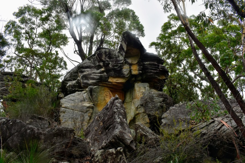
Along the way are three sandstone overhangs known as Lyrebird Caves. Caves they ain’t, but they are great examples of the wind-carved cavities prevalent across the Sydney sandstone region. No doubt the original inhabitants took advantage of them, as they certainly offer protection from both sun and storms.

After another creek crossing, we’re into a clearing and onto a slow slog up the asphalted fire trail as we slip back into suburbia. There is a welcome water bubbler at the top, just before the highway, but sadly, Mt Kuring-gai lacks a pub! No probs, I found one on the way home.
The Stats:
Distance: About 18 ks
Ups & Downs: 900 -1000m both ways
The Watering Hole: The Railway Hotel, Hornsby
The Beer: 150 Lashes
What’s Nearby:
Kuring-Gai Chase National Park
Muogamarra National Park
Crosslands (recreation and camping area)

Leave a comment